
The Verified Sunny Isles Beach ZIP Code Directory
The official Miami-Dade ZIP map places incorporated Sunny Isles Beach in 33160. That ZIP also reaches nearby northeast Miami-Dade beyond the city line, so a 33160 result is only a postal clue. The 33180 label seen in one county association-registry row is an anomaly to verify, not proof of a second city ZIP code.
| ZIP Code | Areas Covered | Post Office | Notes |
|---|---|---|---|
| 33160 | Incorporated Sunny Isles Beach and areas beyond the municipality | USPS Ojus facility | Verified by the official county ZIP map; check city boundary separately |
| 33180 caution | Not shown by the county ZIP map as covering incorporated Sunny Isles Beach | Verify the individual address with USPS | Appears on one Ocean Reserve association-registry row at 19370 Collins Avenue |
Official facilities at 18070 Collins Avenue, 175 172 Street, and 201 182 Drive use 33160. Those examples support the city ZIP, but USPS remains the delivery authority for a specific address.
ZIP Code 33160 Extends Past Sunny Isles Beach
Sunny Isles Beach occupies a 1.78-square-mile barrier island between the Atlantic Ocean and Intracoastal Waterway. The ZIP geography is larger. This matters because a ZIP-wide result may describe a person, association, parcel, or permit outside the municipality even when its postal label looks local.
Geography. Use 33160 to narrow the area, then use the municipal boundary and folio to prove that a parcel is in Sunny Isles Beach.
The official county shoreline map labels Collins Avenue or Ocean Boulevard, Sunny Isles Boulevard or NE 163 Street, and William Lehman Causeway. Numbered cross streets appear in several forms, so test abbreviations and directional variants after the ZIP code directory narrows the search.
Verify a Sunny Isles Beach ZIP Code with USPS
Use the USPS address tool for a delivery label and the county map for area context. The two sources answer different questions. The USPS ZIP Code Lookup is the authoritative starting point for an individual address:
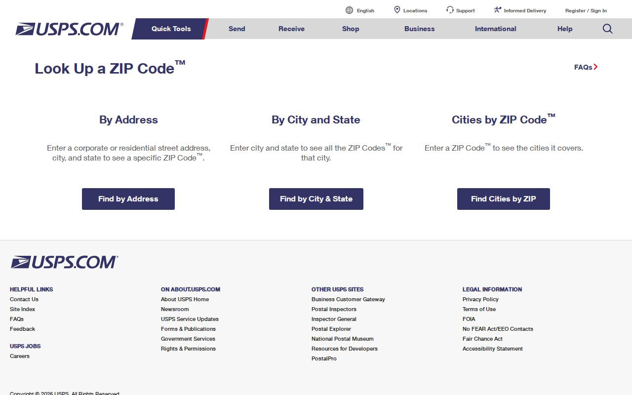
Copy the standardized address exactly, but do not assume the postal city field proves municipal jurisdiction. Carry the result into the property and GIS systems.
The USPS Ojus facility page documents the postal facility associated with this area:
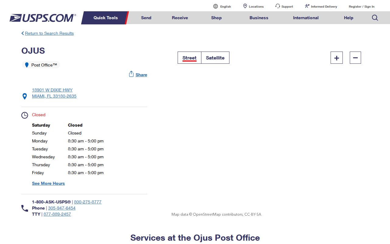
A post office name or location does not redefine the Sunny Isles Beach city line, but it helps explain how mail is routed.
The 33180 Sunny Isles Beach ZIP Code Anomaly
The Miami-Dade Community Association Registry contains a row for Ocean Reserve Condominium Association at 19370 Collins Avenue and labels it Sunny Isles Beach 33180. The official county ZIP map does not show 33180 covering incorporated Sunny Isles Beach. This disagreement is a data-quality warning, not evidence of a ZIP split.
Resolve such a mismatch in this order: verify the full delivery address with USPS, locate the folio in Property Search, and check the parcel against the municipal boundary. A registry's city or ZIP field can be stale or inconsistent even when its association name and folio are useful.
Search the Sunny Isles Beach ZIP Code Directory
No official portal provides a complete list of residents within 33160. Instead, use ZIP-capable tools for the limited records they hold, and use parcel geography to screen out places beyond Sunny Isles Beach.
- Verify the complete delivery address through USPS and retain its standardized form.
- Search Miami-Dade Property Search with the street address only, omitting city, state, and ZIP as the portal instructs.
- Save the exact 13-digit folio, then use the municipal boundary or e-Maps municipality search to confirm Sunny Isles Beach.
- Search SmartGov's Site Zip field for permit applications, not residents, and confirm any owner field at the county roll.
- For lawful voter analysis, use an official redacted extract or focused records request; the individual voter form cannot browse a ZIP.
Once the postal area is narrowed, the Sunny Isles Beach street directory explains the street-level address and folio method.
SmartGov's Sunny Isles Beach ZIP Search Fields
The City SmartGov advanced search includes a Site Zip field, but its results are permit and license applications. It is useful for project chronology, contacts, contractors, and inspections. The portal warns that parcel ownership may be stale because those fields update when an application occurs.
| SmartGov field | Search use | Limit |
|---|---|---|
| Site Zip | Filters permit applications by supplied postal field | Not a resident list or boundary test |
| Site Address / Site City | Narrows an application to a location | Address labels may need variants |
| Parcel Number | Connects the permit to a county folio | Verify current owner at Property Search |
| Submitted / Issued / Finaled | Dates the permit chronology | Historical start is not disclosed |
| Primary Contact / Contractor | Identifies project roles | Does not prove residence |
Public searching does not require a login. The City says permit processing and onsite inspection results update in real time, while permitting became fully digital on January 2, 2024.
Why the Property Roll Omits ZIP Code
Miami-Dade Property Search deliberately asks address users to omit city, state, and ZIP. Enter the house number, directional, street name and type, plus a suite when needed. In a condominium tower, omit the unit to view all matching folios, then restore the exact unit before following deeds or permits.
The parcel card separates Property Address from Owner and Mailing Address. The property address is the situs. The mailing address receives tax correspondence and may be elsewhere. The 13-digit folio and legal description identify the land independent of postal wording, which makes them stronger than the ZIP code when databases disagree.
Myth check. A parcel owner is not a roster of everyone at an address, and an owner mailing address is not the situs.
1997 Changed Sunny Isles Beach Custody, Not ZIP
County Ordinance 97-7 created the proposed municipality in February 1997, and voters approved the charter on June 16, 1997. That date matters for records custody: earlier permit and municipal-service history may belong to County-era files rather than a Sunny Isles Beach office.
No official ZIP split, realignment, annexation, or wholesale street renumbering was verified in the research. Do not infer a postal change from incorporation. Use 1997 to choose the likely records custodian, not to rewrite the ZIP code directory.
Clean Sunny Isles Beach ZIP Results
Miami-Dade e-Maps supplies the jurisdiction check that a postal result lacks. The viewer can search an address, intersection, landmark, folio, township-range-section, municipality, or commission district. After locating a 33160 address, turn on the municipality and parcel context. A parcel inside the Sunny Isles Beach boundary belongs in a city-focused result. A parcel outside it remains a valid 33160 delivery point, but its municipal permits and local custodian will differ.
Save the folio before leaving the map. It is a stable link back to the Property Appraiser, recorded deeds, and city permit records even when a street suffix or postal-city label changes between systems. The map also supports adjacent selection and a distance buffer. Those tools are useful for studying parcel geography, but they return land units rather than a household roster.
- Standardize the full address through USPS and note the five-digit postal code.
- Locate the parcel in e-Maps by address, then copy its folio.
- Confirm that the municipal layer identifies Sunny Isles Beach.
- Open Property Search by folio and compare situs with owner mailing fields.
- Use the correct city or county office for permits, code files, and records requests.
A county association-registry entry can still help identify a condominium entity, status, address, and folio. It cannot settle a disputed ZIP label, and it never reveals association members. USPS, parcel geography, and the municipal layer take priority for the three separate questions of delivery, land identity, and city jurisdiction.
Sunny Isles Beach ZIP Boundaries Versus City Limits
A ZIP is a USPS routing area, not a municipal boundary. Sunny Isles Beach's verified 33160 ZIP extends outside the incorporated barrier island. That means a ZIP-wide permit, association, business, or voter dataset needs a folio or municipality check before it can be described as city data. The official municipal-boundary layer and City Maps provide the jurisdiction test.
- ZIP vs ZIP+4
- The five-digit routing area versus a more precise four-digit delivery segment appended to it.
- PO-box ZIP
- A ZIP used for post-office boxes rather than ordinary street delivery.
- Unique ZIP
- A postal code assigned to one organization or destination with enough mail volume.
- Carrier route
- A group of delivery points served along one postal route, not a city district.
Use the ZIP code directory to narrow, USPS to confirm delivery, and Miami-Dade parcel geography to confirm jurisdiction. That sequence prevents a postal label from being mistaken for proof that a person or parcel lies inside Sunny Isles Beach.